Showing posts with label streetcar line. Show all posts

Wednesday, June 4, 2025

Wake Wednesday - 1914 Raleigh Street Car Map

This wonderful street car map from 1914 recently passed thru my Facebook Feed. Mike Legeros of Legeros Fire Blog shared his map with the "You know you grew up in Raleigh when..." group there. 
His map is an annotated version showing the street car lines of the time. It is viewable at his website. Click map to see larger.

Source

The original is available via North Carolina Maps site from UNC-CH.


Visit Wake County Genealogical Society's Website - Homepage | WCGS Events | Join WCGS | Publications | Wake Cemetery Survey Images | Society Surnames | Digital Resources | History Resources | More Links and Resources | Contact - info(at)wakecogen(dot)org


Wednesday, April 9, 2025

Wake Wednesday - Maiden Lane: From Historic District to Concrete Desert

As I prepared to write about this historic "pocket-sized" neighborhood, I looked up Maiden Lane on Google Maps and found something else entirely. What had been a quiet neighborhood comprising less than three acres that had earned status on the National Register of Historic Places, was no more.

Turn away from the NC State belltower on to Maiden Lane today, and you will find the quaintness and quiet is gone. It is replaced with the typical boxy, gray apartment buildings and surrounding parking lots that pass for progress in Raleigh today. 

What a shame. What was recorded as a historic treasure in 2006 was mostly destroyed by 2024. 

View on Google Map

One cool feature of the street view on Google is that you can see older versions of the scene in front of you. Compare the identical spot on Maiden Lane. The top photo was captured by Google in 2007 and the bottom photo in 2022. 

2007 - click to view full size

2022 - click to view full size


The homes that were razed were mostly colonial and Queen Anne style built in the 1890s to 1920s as housing for the teachers and professors at North Carolina Agricultural and Mechanical College (now NC State University). The house at 2 Maiden Lane, the yellow two-story on the right in the top photo, was the home of Isabella Morrison Hill, widow of Daniel H. Hill. D. H. Hill was a professor, and school president of NCA&M from 1908-1916. 

In the spirit of not forgetting what was, you can peruse the National Register of Historic Places Registration Form for the Maiden Lane neighborhood. You will find the form, photos, descriptions of all thirteen homes and the architectural and historic report at this link.

Here are six notable points about Maiden Lane as a historic part of Raleigh:

  • The Maiden Lane Historic District was formerly located west of downtown Raleigh, just north of North Carolina State University's bell tower, and occupied about 2.75 acres on the only block of Maiden Lane.

  • The district was platted in 1892 by Wake County land surveyor Fendol Bevers, who designed it as a one-block residential street extending north from Hillsborough Street (then the road to Hillsboro).

  • Maiden Lane's development was directly influenced by two major nearby establishments: R. Stanhope Pullen's 1887 land donation that created both NC State College (now University) and Pullen Park.

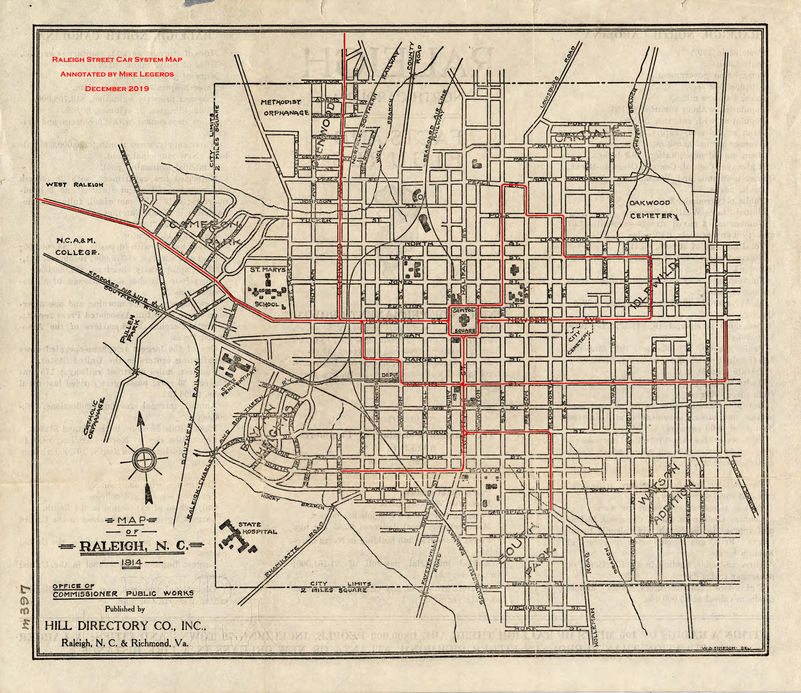
  • The extension of Raleigh's electric street railway to Pullen Park in 1893-1894 significantly increased the practicality of living on Maiden Lane by reducing travel time to downtown.

  • By 1910, development along Maiden Lane was already well underway, preceding other suburban streetcar developments like Cameron Park and Boylan Heights.
  • The district was listed on the National Register of Historic Places on May 3, 2006, recognized for its historic significance to Raleigh's early suburban development.
It is good to remember Raleigh as it used to be and I am glad that we can capture glimpses of Maiden Lane from the past now that it is all concrete and asphalt.

Do you remember any other neighborhoods that have disappeared in the name of progress since the early 2000's? Did they have a historical designation?

Visit Wake County Genealogical Society's Website - Homepage | WCGS Events | Join WCGS | Publications | Wake Cemetery Survey Images | Society Surnames | Digital Resources | History Resources | More Links and Resources | Contact - info(at)wakecogen(dot)org

Wednesday, June 21, 2023

Wake Wednesday - Raleigh's First Suburbs ca.1900

Something is pulling my attention to Raleigh/Wake County around the turn of the century (1900's). It was a time of accelerated growth and prosperity. Perhaps it is that parallel that with today's frantic growth pace that has me looking backwards.  

I started looking at the historic neighborhoods that built up in the early 1900's:

  • Glenwood  - c.1905. It's development a direct result of the streetcar line providing access north and west.
  • Boylan Heights -  c.1907. Built on 180 acres of the William Montfort Boylan Mansion on the western outskirts of Raleigh.
  • Cameron Park - c.1910. Built on land that half a century earlier was Cameron Plantation.
  • Bloomsbury - c. 1914. It's construction signaled the transition from streetcar access to automobile access as Raleigh expanded ever outward.

Trolley time in Raleigh (source)

As I did more research, I
 became amazed and a little unsettled at the historical, cultural and sociological details that are unearthed when you start to read about them. What started as a curious and nostalgic look at some quaint Wake communities lead to a whole different perspective on Raleigh as it emerged into the 20th century. (The links above will take you directly to individual historic profiles for each neighborhood.)

I was going to do several posts on these lovely nostalgic neighborhoods and their role in the changing mores of Wake County. As luck would have it, my research led me to someone else with the same interest in these communities who had already covered this topic in full detail and really honestly. So rather than "re-invent the wheel," I will now direct you to the well written blog post, City of Oaks by blogger David Fleming.  While I am mainly interested right now in the Raleigh communities that sprung up right after 1900, David has covered the development of Raleigh in its entirety. This will necessitate some scrolling on your part to bypass the original layout of Raleigh and the stagnation of growth around and after the Civil War years.  The part that I am most interested in about a quarter way down the page just after he discusses Josephus Daniels. 

He starts with pretty much the same jumping off point that I had arrived at - the building of the streetcar line on Glenwood Avenue and how it both enabled and depressed parts of Raleigh's population. Like I said, some of this is unsettling, but he does present a thorough unvarnished look the racial divide and class isolation that grew through the first half of the 20th century.

David's post is filled with wonderful photos, maps, historic perspective and even some useful statistics. If times allows, read the whole article and take in the massive amount of work that David has done here.


I am sure grateful for his efforts. I could not begin to present the subject as well as he did.

Update:
I have recently found another reminiscence from a Mr. Howard Lake on an old Rootsweb post. The post is here if you want to read it in the original format. Caution - black background, multicolor text, and frequent font changes in the original. It is a shame to lose such valuable content that preserves how things were - 


My Uncle Samuel Holland (1917-1990), who grew up at 202 Linden Avenue, built a little trolley car from the street down the hill where the Baha'i Unity Center is now located. It would roll down the tracks and then be hauled back up by a rope. All the neighborhood children used to play on the trolley.
Raleigh itself had real trolley service. One line went from downtown to Bloomsbury Park at the end of Saint Mary's Street. Nothing remains of Bloomsbury Park, except the post for the merry-go-round that was restored and is now enjoyed by children at Pullen Park.  Bloomsbury is now a residential area, and was between Aldert Root School and the intersection with Lassiter's Mill Rd.  This explains why there is that weird switch in the names of the roads, a frequent occurrence in Raleigh.  It used to be the jumping off place for the city limits, but is now some 8 miles inside Raleigh.  Just to finish up my blabbing, we have been blessed with an excellent economy for the last 50 years.  Our unemployment rate is about 2%, and has rarely gone over 5%.

Raleigh's early years of the twentieth century was the creation of three planned suburban neighborhoods, Glenwood, Cameron Park, and Boylan Heights. All three of these suburbs were platted between 1906 and 1910 on lands situated to the north, west, and southwest of the 1907 expanded city limits. Although the neighborhoods were designed to attract Raleigh's newly arrived or those newly ascended to the middle class, they vary in their layout, architecture, and topography. From the outset, these neighborhoods had water and sewer services, electric power and access to streetcar transportation which were vital amenities to the new city dwellers. 
 
In addition to the white suburbs, black residential expansion continued at an unprecedented rate in the south and east sections of Raleigh. South Park, bordered by Bledsoe, Wilmington, Hoke and East streets, was platted in 1907 by the white-owned Raleigh Real Estate and Trust Company. Soon after, in a twelve month period, 122 lots had been sold and were in various states of improvement. Farther to the north and east, around St. Augustine's College, two other black suburbs were created in the early 1910s. Battery Heights and College Park attracted skilled workers and a rising middle class sector. The domestic architecture consists of one and two story frame Triple A's and shotguns, cottages and I-houses decorated in a variety of styles. Although South Park, Battery Heights and College Park were in outlying areas, by 1920, streetcar service along Hargett Street was extended and an increased use of automobiles attracted would-be homeowners.

Besides providing improved access to the outlying residential areas, the Carolina Power and Light Company (CP&L) sought to expand its ridership base. In 1911, the utility extended northward the Glenwood Avenue route to the Carolina Country Club which bordered a one hundred acre park. Bloomsbury Park opened in 1912 and featured an electric powered carousel, a roller coaster and a penny arcade. The general manager of CP&L reported, "we now have a long railway line for joy riders which terminates at the park and we are hopeful that the combination will prove most beneficial to us". By 1915, however, Bloomsbury Park had ceased operations, terminated by CP&L. The carousel was bought by the city and placed in Pullen Park. What was left along both sides of the rail lines was mainly farmlands filled with cultivated fields, fallow expanses, and woods that had been ogled by every paying passenger up to that time. In mid-decade, continued residential expansion occurred when large plots of land were purchased by Thomas Ruffin, James H. Pou, and others. Situated north of the Five Points intersection, the lands would beckon to prospective homeowners for several more years until the outbreak of World War I temporarily suspended development.

As towns became cities and citizens longed for the open spaces and trees of pre-industrial communities, recreational parks became a part of the urban landscape. Pullen Park, a gift of eighty acres from businessman Richard Stanhope Pullen in 1887, became a site where Raleighites could picnic, boat, skate, and enjoy nature. Bloomsbury, also at the end of a trolley line and built in 1912 by the Carolina Power and Light Company, was advertised as the Electric Park Amusement Company and provided diversions associated with amusement parks today, such as roller coasters, penny arcades, and merry-go-rounds. A carousel, built by the Dentzel Carousel Company of Philadelphia (1903-9) and featuring the handcarved animals of Salvatore Cernigliaro, was among the most popular features of Bloomsbury Park.

According to one writer, "Raleigh was stung by the report that Charlotte had beat it to electric car service." Dr. S. J. Jacobs of Iowa purchased the existing streetcar charter and announced ambitious plans. Arrangements were made for Edison General Electric Company to furnish electrification and four elegant trolley cars to be purchased from Philadelphia. Disputes developed between the owners and construction company, and some electric wires were removed. To resolve matters, Baltimore bondholders became involved, and Raleigh residents bought $50,000 in bonds to finance construction of the streetcar system. When he became unable to pay a bill for machinery, Dr. Jacobs quietly left Raleigh and never returned.
The Raleigh Street Railway Company, however, began scheduled runs on September 1, 1891. The system covered the same general route as the mule-drawn system. From downtown, the tracks ran west along Hillsboro Street (now Hillsborough) as far as St. Mary's College, north on Blount Street to Brookside Park near Oakwood Cemetery, and down Fayetteville and Cabarrus streets to the depot southwest of downtown.  When the company failed in 1894, James H. Cutler of Boston, who already had streetcar interests in Asheville and other southern cities, acquired more investors and reorganized the company as the Raleigh Electric Company.

Carolina and Power & Light Company, organized in 1908 in Raleigh, incorporated Raleigh Electric and its streetcars, other area utilities, and the newly built Buckhorn dam and plant on the Cape Fear River. Only Fayetteville Street, of all the streetcar routes, was paved at the time.  Frank Shearin, a conductor, recalled, "People in the residential areas used to complain about the dust." To solve the problem, CP& L bought a 4,000-gallon capacity tank car to water down the roads. This was only one example of how CP& L invested the necessary funds to modernize Raleigh's streetcar operation.  

By 1915 the system boasted twelve miles of trackage. It served the state technical college (now N.C. State University) and reached the State Fairgrounds, ran along New Bern Avenue to the east, and in (1912) arrived at the new 100-acre Bloomsbury Park out Glenwood Avenue to the north.  As a student at N.C. State in the early 1930s, Willie York (developer of Cameron Village Shopping Center and other properties) recalled riding streetcars downtown to the California Fruit Store to meet girls from Meredith College.

In June 1888, the Raleigh Street Railway Company opened Brookside Park just north of the city near Oakwood Cemetery, connected to the mule-drawn streetcar system by a spur track. Baseball was a major attraction, along with a merry-go-round and picnicking. The same year, the city opened Pullen Park on the western edge of the city. Brookside Park was developed to a greater extent than Pullen, probably because it was  privately owned and on the streetcar line. By 1912 Raleigh was growing fast and there was no room to expand Brookside. CP& L, at that time owner of the city's electric streetcar system, opened Bloomsbury Park on 100 acres located three miles out Glenwood Avenue. Using 8,000 lights, the park was nicknamed the "electric park." The park's features included an octagon-shaped pavilion where orchestras played for dances; a Dentzel carousel with a Wurlitzer organ, costing $12,000; a roller coaster; and a penny arcade.


Thank you Mr. Lake. We've got to keep these old memories alive! 

Update: View early maps of Raleigh's first Suburbs from the Wake Register of Deeds Consolidated Real Property Index that was highlighted in last week's Wake Wednesday post. Find these areas on Google Maps by looking up street names and compare the changes that you see today!

Glenwood (not found in BM1911, BM1915, BM1918)

Boylan Heights1, Boylan Heights2

Cameron Park1, Cameron Park2

Bloomsbury


Visit Wake County Genealogical Society's Website - Homepage | WCGS Events | Join WCGS | Publications | Wake Cemetery Survey Images | Society Surnames | Digital Resources | History Resources | More Links and Resources | Contact