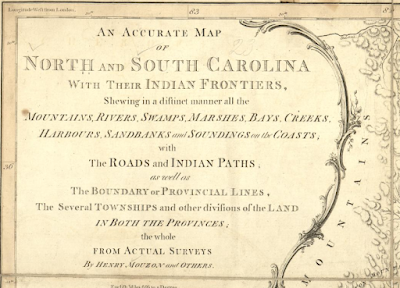
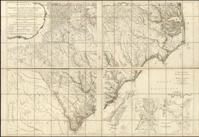
Have fun spending some time comparing and contrasting these two colonial era maps that are held by the Library of Congress. Both made under the direction of Henry Muzon. Both show the early colonies of North and South Carolina. Both are hand colored, although each is executed somewhat differently. One created in London, the other in Paris. They even share a title -
An accurate map of North and South Carolina,
with their Indian frontiers, shewing in a distinct manner all
the mountains, rivers, swamps, marshes, bays, creeks,
harbours, sandbanks, and soundings on the coast
with the roads and Indian paths as well as
The Boundary or Provincial Lines, the several Townships
and other divisions of the Land in both Provinces:
The whole from Actual Surveys by Henry Mouzon and Others.
Click through to see larger images, but more importantly, click the hyperlinked dates to view the original maps at the Library of Congress.
1777
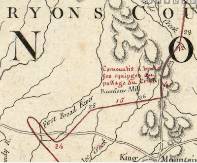
If you have time for nothing else, be sure to open the 1777 version to see Cornwallis's Route from Charleston to the Piedmont area of North Carolina. No doubt this was colored by someone other than the makers after the fact because these troop movements happened in 1780-81 time frame. Note also that Cornwallis is spelled Cournoualis. Interesting. I guess this reflects its French publication.


No comments:
Post a Comment