Here is another great find that resulted from researching the Wake Cemetery Survey project.
A large number of historic maps have been scanned and put on line by the Wake County Register of Deeds. The restored and peserved historic maps are available in the Online Consolidated Real Property Index. Currently available map time frame spans years 1885 to 1927
To View Preserved Historic Maps Online - Follow the Instructions Below:
- Visit: https://rodcrpi.wakegov.com/booksweb/genextsearch.aspx
- Enter one of the BM Years into the Book field one of the following years.
In the Page field enter %
This collection is extremely useful for tracking changes to an area over time and locating buildings or landmarks that may no longer exist. Here is an example map from 1913.
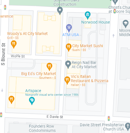
Where the original market site covered roughly one eigth of the square, the current City market encompasses four full blocks of space. Notice that what was once Pullen Street is now Wolfe Street.


No comments:
Post a Comment